Our Geography
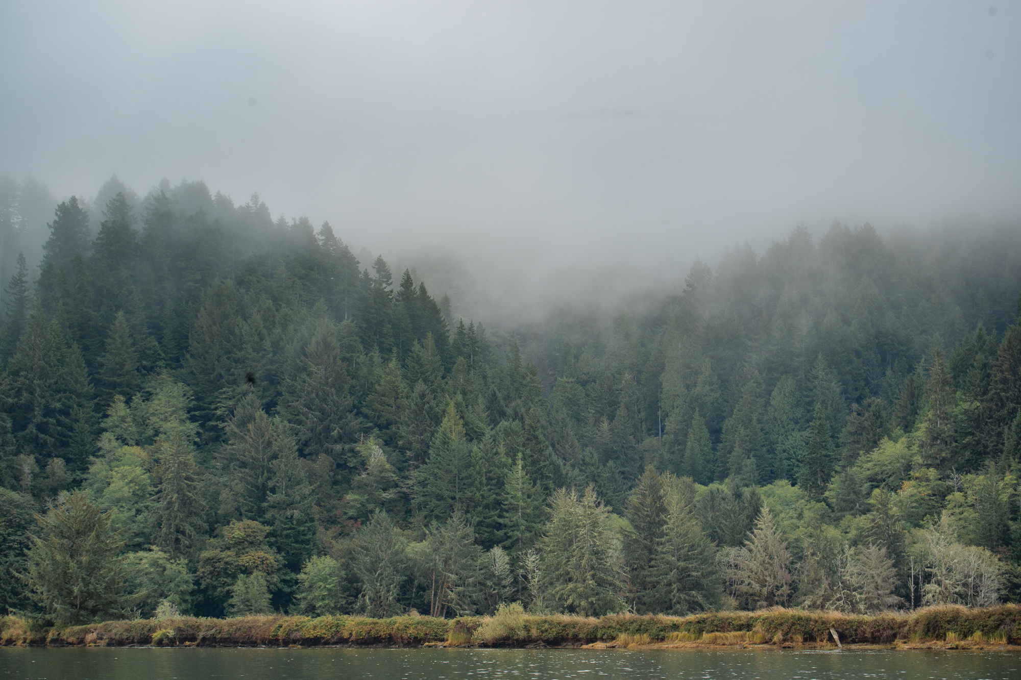
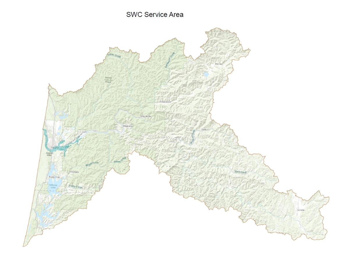
The Siuslaw River begins in the rain-drenched coniferous forests of the Oregon Coast Range and fertile Lorane Valley, west of the city of Eugene. From its headwaters, the river stretches approximately 109 miles, winding its way through low mountain forests, valley bottomlands scattered with wetlands, sand dunes, and an extensive estuary before meeting the Pacific Ocean near the city of Florence. The river basin covers a total of 504,000 acres (773 sq. miles). The watershed borders the Alsea River system to the north, the Willamette River system to the east, and the Smith River, a tributary of the Umpqua River, to the south. The Siuslaw Watershed Basin includes numerous creeks, wetlands, and several lakes.
Over half of the Siuslaw Watershed is publicly-owned; primarily Bureau of Land Management (BLM) in checkerboard lands on the east side and Siuslaw National Forest in the mid to western Coast Range. In our efforts to bring together diverse interest groups in the management of our watershed, we work closely with our primary landowners along with our other important partners from both government and non-government agencies and organizations with interest in the Siuslaw.
